
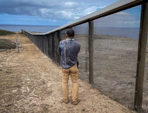
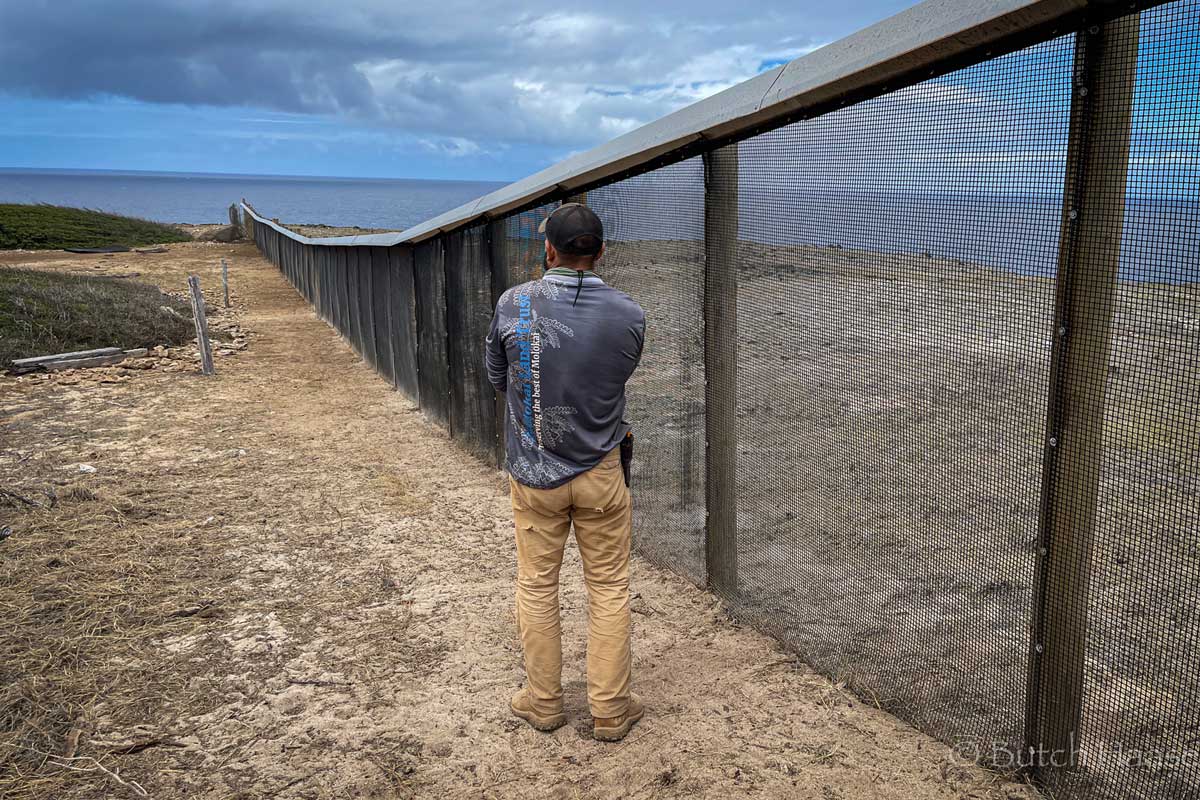
Here at Molokai Land Trust, our dedication to stewarding the precious lands of Molokai is at the heart of everything we do. A crucial part of effective land management is a deep understanding of our environment, and we’re excited to highlight a vital resource now providing up-to-the-minute weather data from the Anapuka Weather Station.
You can now access live readings directly from the Anapuka Weather Station, thanks to the UH Mesonet System. This invaluable tool offers immediate insights into current weather conditions, benefiting everyone from local farmers and ranchers planning their operations, to researchers studying our unique ecosystems, and indeed, anyone on Molokai keen to stay informed about local environmental dynamics.
Check out the live data from the Anapuka Weather Station here: UH Mesonet System for Anapuka Weather Station
Understanding the Hawaiʻi Mesonet: Why It’s a Game-Changer
The Anapuka Weather Station is more than just a single point of data; it’s part of a much larger, ambitious initiative: the Hawaiʻi Mesonet. This statewide, advanced weather and climate monitoring network aims to encompass approximately 100 automated, telemetered stations across the islands. Until now, Hawaiʻi was one of only 20 states without a comprehensive statewide Mesonet.
For over a century, various entities in the islands collected climate information. However, this observing network had become fragmented, lacked centralized management, and was experiencing a worrying decline in its spatial coverage. This inadequacy severely hampered the ability to meet the needs of scientists, land managers, and countless stakeholders who rely on accurate environmental data. Historically, a significant portion of our climate data came from stations operated by the sugar and pineapple industries. As large-scale agriculture diminished across the islands, many of these crucial stations were unfortunately decommissioned. The Hawaiʻi Mesonet is designed to rectify this critical gap, ensuring a consistent flow of comprehensive, high-quality climate information throughout the state.

Who Benefits from This Data?
The information streamed from the Hawaiʻi Mesonet is incredibly important for a diverse array of users and applications:
- Weather Forecasting: Providing hyper-local data to improve the accuracy and timeliness of daily forecasts.
- Emergency Preparedness: Offering real-time insights crucial for flood and fire warnings, supporting rapid responses during critical events.
- Resource Management: Aiding in efficient water resource management, informing decisions for agriculture, and guiding conservation efforts for our cultural and ecosystem resources.
- Agriculture & Ranching: Delivering vital metrics for optimizing crop health, irrigation schedules, and livestock management.
- Recreation: Helping outdoor enthusiasts plan activities based on current conditions.
- Scientific Research: Powering in-depth studies on complex topics like weather patterns, climate change impacts, hydrological cycles, and ecosystem processes.
What Does Each Mesonet Station Measure?
Each station within the Mesonet is a sophisticated hub, equipped to gather a full spectrum of environmental variables essential for a wide range of applications. Sensors at every station are scanned every 4 seconds, with averages and other statistical data meticulously recorded every 5 minutes. To ensure real-time access, all stations transmit their collected data every 15 minutes.
The comprehensive measurements include:
- Rainfall: Quantifying precipitation amounts.
- Air Temperature & Relative Humidity: Key indicators of atmospheric conditions.
- Wind Speed and Direction: Crucial for understanding air movement and potential fire spread.
- Air Pressure: A fundamental atmospheric variable.
- Solar Radiation (Incoming & Reflected): Measuring energy from the sun, both absorbed and reflected by the surface.
- Incoming & Outgoing Longwave Radiation, Net Radiation: Assessing energy balance.
- Soil Heat Conduction: Understanding heat transfer within the soil.
- Soil Temperature & Soil Moisture: Measured at three different depths to provide a complete picture of subsurface conditions.
The Hawaiʻi Mesonet represents a significant leap forward in understanding and managing our islands’ unique environment. We at Molokai Land Trust are proud to see this initiative unfold and encourage everyone to utilize these valuable resources. Stay connected, stay informed, and let’s continue working together to protect the special places of Molokai!
